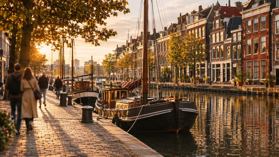
Rotterdam.
Rotterdam on foot: 15 places explained, 3 routes drawn on real streets, 5 districts and the essentials for getting around. Sources are cited on every page.
- 15
- places
- 3
- routes
- 5
- districts
The essentials
Numbers refer to the map of places

How we work
A guide to read while walking: every place has its story, every route follows real streets.
Where to stay
Recommended districts to stay within walking distance
- Kop van ZuidBooking.comHotels.com
- KralingenBooking.comHotels.com
- KatendrechtBooking.comHotels.com
- Oude WestenBooking.comHotels.com
- CoolBooking.comHotels.com
Partner links: via.city may earn a commission, at no extra cost to you.
Where to start
Distances measured along the line; times are walking time only, without visits.
Map of places


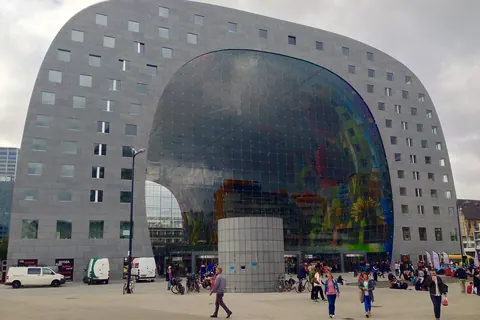
- 1Market HallMarkets
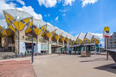
- 2Cube houseMonuments
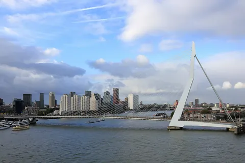
- 3ErasmusbrugMonuments
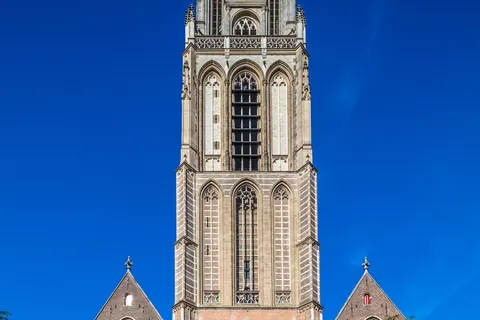
- 4Grote or Sint-LaurenskerkChurches and chapels
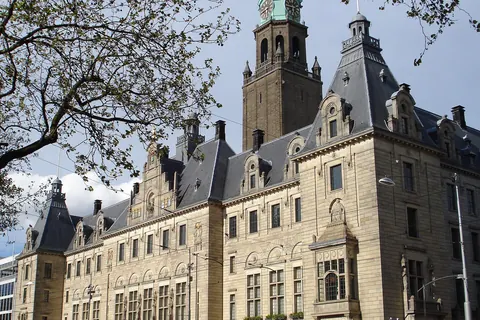
- 5Rotterdam City HallMonuments
- 6EuromastViewpoints
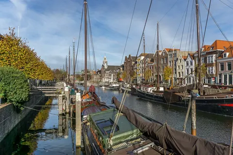
- 7DelfshavenMonuments
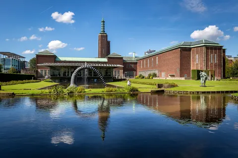
- 8Museum Boijmans Van BeuningenMuseums
- 9KunsthalMuseums
- 10De RotterdamMonuments
- 11Maritime Museum RotterdamMuseums
- 12Witte HuisMonuments
- 13Hotel New YorkMonuments
- 14SS RotterdamMuseums
- 15De DoelenShows
Districts
Kop van Zuid
Kop van Zuid is a neighborhood of Rotterdam, Netherlands, located on the south bank of the Nieuwe Maas opposite the center of town.
Kralingen
Kralingen is a former village in the Dutch province of South Holland, now a neighbourhood of Rotterdam.
Katendrecht
Katendrecht is a neighbourhood of Rotterdam, on the south bank of the Nieuwe Maas.
Oude Westen
Oude Westen is a neighborhood of Rotterdam, Netherlands adjacent to the city center.
Cool
Cool is a neighborhood of Rotterdam, Netherlands in the Centrum borough.
App in preparation
The Rotterdam guide has no app yet. Leave your address: a single message on the day it comes out.